
What Is Mapster?
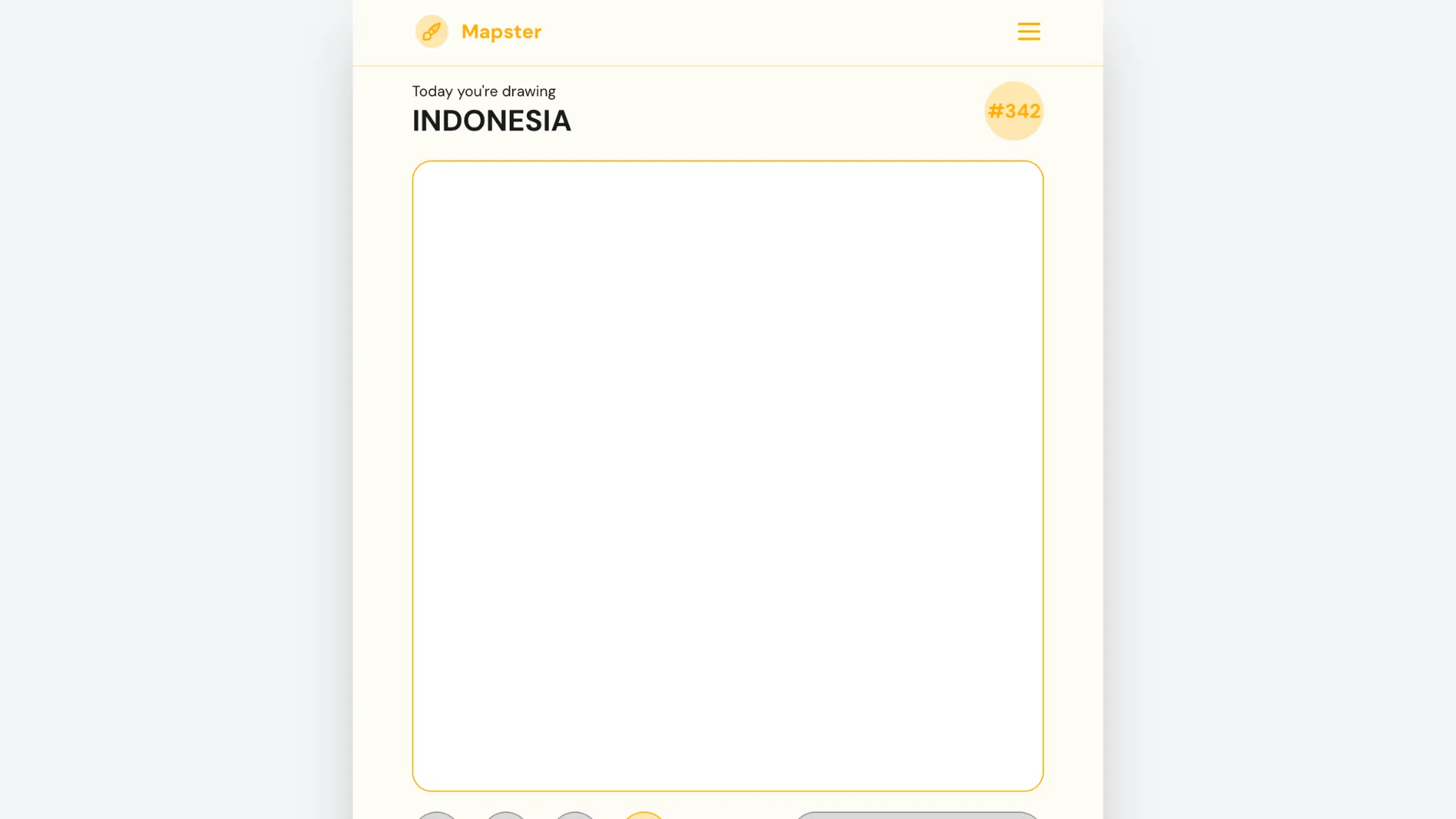
Mapster is a daily geography drawing game from Teuteuf Games, the creator of Worldle and several other map-based puzzles. It reverses the familiar country-outline format: the game tells you which country to draw, gives you a small set of major-city reference points, and asks you to recreate the country's border yourself.
There is no country name to guess and no list of possible answers. The challenge is whether you can turn your mental image of a country into an accurate outline.
A new daily Mapster challenge appears at midnight according to your device's local time.
The Core Twist: Draw the Country Instead of Guessing It
Most geography games show a country shape and ask, "Which country is this?" Mapster does the opposite.
The basic puzzle looks like this:
Country name + city reference points → draw the border → compare with the real outline → receive a score
The city markers are useful anchors, but they do not trace the coast or border for you. You still need to remember how far the country stretches in each direction, where the border bends, and how its major geographic features affect the overall shape.
That makes familiar countries surprisingly difficult. Knowing where Paris, Madrid, Tokyo, or Brasília sits is not the same as being able to reproduce the national outline around those points.
How Scoring Works
Your finished drawing is compared with the country's real outline, with a maximum score of 1,000.
Coverage matters most. Drawing over areas that really belong to the country helps your score, while leaving large parts of the actual country outside your sketch hurts it. Extending your drawing beyond the real border is also penalized, but the game is more forgiving of some extra area than it is of missing large sections of the country.
In practical terms, it is usually better to draw a slightly generous outline that contains most of the country than to make an extremely cautious sketch that cuts off major regions.
A near-perfect overlap can approach 1,000 points, while a badly positioned or badly proportioned outline can score much lower.
How To Play Mapster
- Read today's country name and inspect the city markers. Use the cities to establish the country's rough position, scale, and orientation before drawing.
- Picture the overall silhouette. Think about whether the country is long, compact, triangular, rectangular, coastal, island-based, or dominated by a distinctive peninsula or bulge.
- Draw the border around the reference points. Use your mouse or touch input to trace the outline from memory. Focus on the large-scale shape before worrying about small coastal details.
- Review and submit your drawing. If the interface allows you to correct part of the line, fix obvious mistakes before locking in the result.
- Compare your sketch with the real country. After submission, Mapster compares your attempt with the true border and gives you a score out of 1,000.
Hints
Mapster includes optional help for days when the outline is difficult to recall.
One hint can reveal part of the real border, giving you a useful starting segment and a clue about scale or orientation. Another can briefly show the complete country shape, letting you study it for a few seconds before returning to your drawing.
Hints make the puzzle more approachable, but players looking for the pure memory challenge can ignore them and draw entirely from the country name and city anchors.
Strategy Tips
Start with proportions, not coastlines
Do not begin by trying to reproduce every bay or peninsula. First decide the country's overall width, height, and orientation. A recognizable large-scale silhouette is much more important than tiny border details.
Use the cities as geometry anchors
If several marked cities are visible, think about their relationship to the country's edges. A capital close to the coast should not end up in the center of your drawing, and a city known to be near a border can tell you how far the outline should extend.
Remember distinctive features first
Countries with memorable features are easier if you establish those features before connecting the rest of the border. Italy's peninsula, Chile's extreme north-south length, India's southern point, and Thailand's narrow southern extension are examples of shapes where one major feature controls the whole sketch.
Favor coverage when uncertain
Because missing real territory is more damaging than adding a modest amount of extra space, avoid shrinking your drawing too aggressively. If you are unsure about an edge, a slightly wider approximation can be safer than cutting deep into the country.
Use straight-line borders as landmarks
Some countries have long, unusually straight border sections. Remembering where those segments sit can give your freehand drawing a strong structural framework before you tackle irregular coastlines or mountain borders.
Why Mapster Feels Different From Other Geography Games
Mapster tests map production rather than map recognition. Many players can identify a country instantly when shown the outline but discover that drawing the same country unaided is much harder.
That difference makes the game useful for learning as well as competing for a high daily score. After submitting a rough sketch and seeing the true border, the mismatch tends to reveal exactly which parts of the country's geography you remembered incorrectly.
It is also a quick daily game. There is one main country to draw, so a session can take only a few minutes while still producing a very different challenge depending on the day's country.
Is Mapster Worth Playing?
Mapster is a strong choice for players who already enjoy Worldle, map quizzes, or geography drawing challenges and want something that relies less on recognition. The daily format is short, the scoring gives you a clear target to improve, and even an awful-looking sketch can be entertaining when the real outline finally appears.
If you like knowing countries but are curious whether you could actually draw them from memory, Mapster is built around exactly that question.