
What Is Statele?
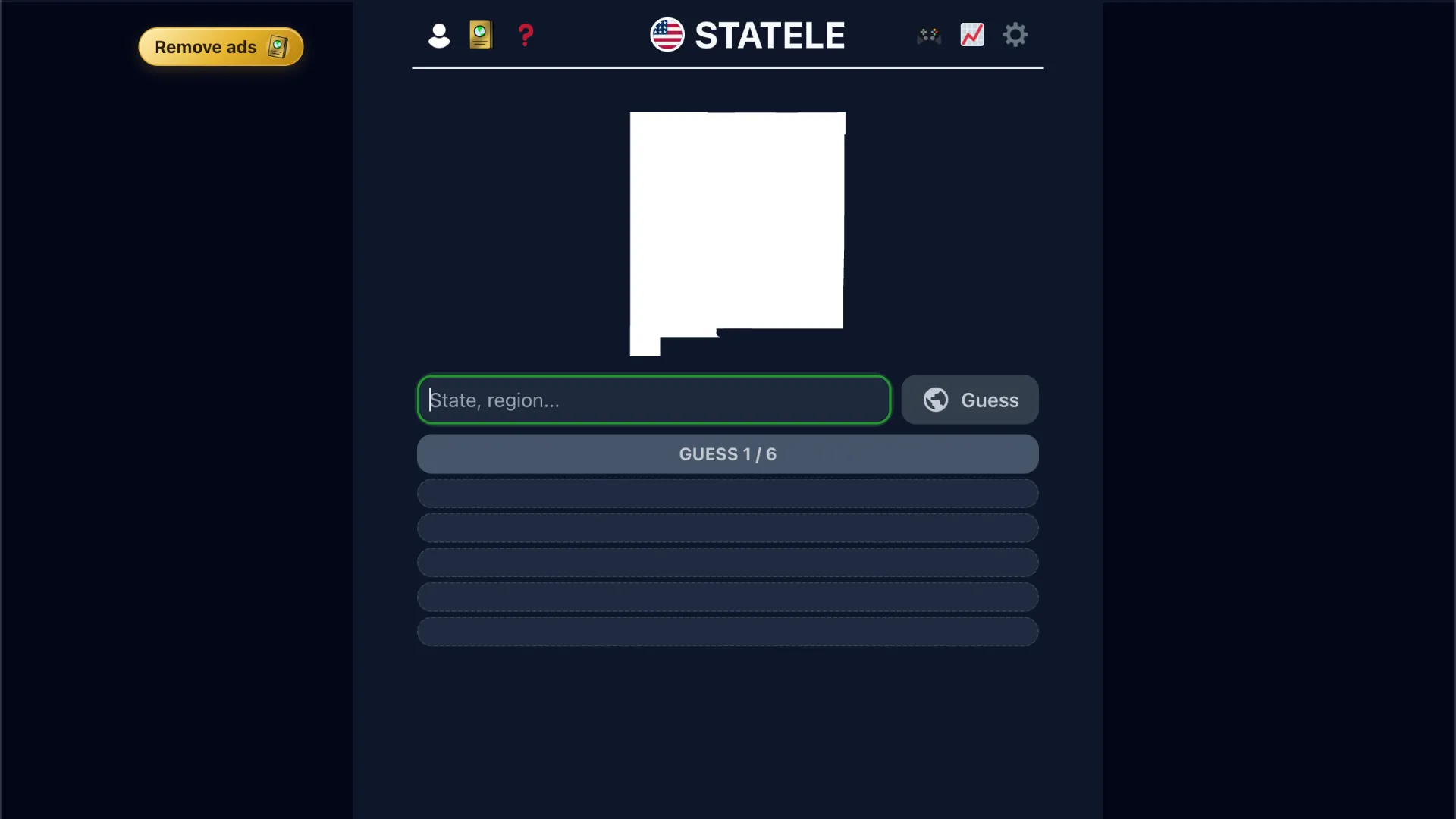
Statele is the daily U.S. geography game from Teuteuf Games, the studio behind Worldle. Each day you see one mystery outline and have six tries to name the state it belongs to.
Valid answers are the 50 states plus Washington, D.C. and U.S. territories such as Puerto Rico. There is no list of four multiple-choice options. You type a place name, submit it, and the game tells you how far off you were.
A new Statele appears every day. Settings let you switch kilometers and miles, change the theme, and hide the silhouette if you want a harder round that relies only on distance and direction.
The Core Twist: Name the Outline, Then Follow the Compass
Most map quizzes either show a labeled map or ask you to click a state. Statele does neither.
The puzzle looks like this:
Black silhouette → guess a state or territory → get distance, direction, and proximity → guess again
The outline is the first clue. Florida's peninsula, Michigan's mitten, Oklahoma's panhandle, and Hawaii's island chain are often recognizable immediately. Rectangular Plains states and lookalike Mid-Atlantic shapes are not.
When the silhouette is not enough, the feedback after a miss becomes the real game. Distance and direction are measured as a straight line between the guessed place and the target, not as driving time or shared borders. Two neighboring states can still show a few hundred kilometers because the reading uses geographic centers.
The official rules use this example path:
- New Mexico → 1,569 km northeast, 66% proximity
- Michigan → 757 km west, 83% proximity
- Minnesota → 0 km, correct
Proximity is a percentage that climbs toward 100% as your guesses get closer. A correct answer is 0 km away.
How To Play Statele
- Study today's silhouette before typing anything. Look for coastlines, Great Lakes, panhandles, a second peninsula, or an island group. Decide whether the shape feels coastal, inland, long and thin, or boxy.
- Enter a valid state, territory, or D.C. The search box accepts partial names and lists matching places, so you do not have to spell every name from memory.
- Read the three clues on a miss. Distance tells you the scale of the error. The arrow or compass label tells you which way to move on a mental map of the United States. Proximity tells you whether the next guess should be a small hop or a cross-country jump.
- Use the next guesses to triangulate. If Texas is 1,200 km northeast of the target, do not guess Oregon next. Move in the indicated direction by roughly that distance, then tighten the search among neighboring states.
- Lock in the name when the outline and the compass agree. After a correct guess or a sixth miss, the game reveals the state. Some versions also offer short bonus questions on borders, the capital, the flag, or a piece of trivia.
Strategy Tips
Start with a distinctive shape, not a random opener
If the outline is obvious, guess it first. Saving an easy Florida or Texas for later wastes a turn you may need when the next day's rectangle could be Colorado, Wyoming, or Kansas.
Treat the first miss as a survey shot
When the shape is bland, open with a large, central state such as Missouri, Kansas, or Iowa. The distance and bearing from the middle of the country usually tell you which quadrant to search.
Remember Alaska, Hawaii, and the territories
A huge distance from every Lower 48 guess often means Alaska or Hawaii. A coastal outline that still produces odd bearings can be Puerto Rico or another territory, both of which are legal answers.
Use neighboring states as a ruler
Once you are within a few hundred kilometers, think in adjacencies. A 300 km east reading from Tennessee is a different shortlist than a 300 km east reading from Nevada.
Hide the image only after you know the shapes
The no-silhouette setting is a good drill if you already recognize outlines. For a first session, keep the map visible and learn which states you keep confusing.
Why Statele Feels Different From Other Geography Games
Statele is smaller than Worldle in a useful way. There are only about fifty common answers instead of every country on Earth, so a player can actually learn the full set. The hard part is not vocabulary. It is telling lookalike interiors apart and remembering that a shared border is not the same as zero kilometers.
A round is short. One outline, six guesses, and you are done unless you stay for a bonus question. That makes it an easy daily add-on if you already play Worldle, Mapster, or Travle USA.
Is Statele Worth Playing?
Yes if you want a compact U.S. map drill with a clear daily target. The silhouette plus compass loop is easy to learn and still catches people who can find states on a labeled map but cannot name them from shape alone.
Skip it if you want a full click-the-map atlas, a quiz about capitals only, or a game with hundreds of possible answers. Statele is built around one outline a day and the question of whether you can turn that outline into a name.